
Layers in the Ritchie County Parcel Map
Ritchie County parcel maps tie each assessment account to a tax-map polygon, a road, and a recorded land description. Start with the assessor to pull the account and the map/parcel key. Then open the state viewer or the tax-map sheets. A map shows neighboring shapes and orients a property search, but it is no substitute for a survey. The deed and plat carry the recorded description. Only a licensed surveyor can settle a boundary dispute. This page keeps the pieces straight.
| Map Layer or Tool | What It Shows | Useful For |
|---|---|---|
| Surface parcel polygons | Tax-map outlines for land parcels | Locating a tract and comparing shapes |
| Ownership and attributes | Assessment-linked parcel information | Jumping from map to record keys |
| Aerial or base image | Roads, landscape, and visible features | Orientation only |
| Tax-map PDF | Print-ready map sheet with map ID | Keeping a dated reference copy |
| Search and identify | Parcel search and selected-parcel details | Finding and inspecting one polygon |
| GIS download | State parcel data for local analysis | Working with the annual release |
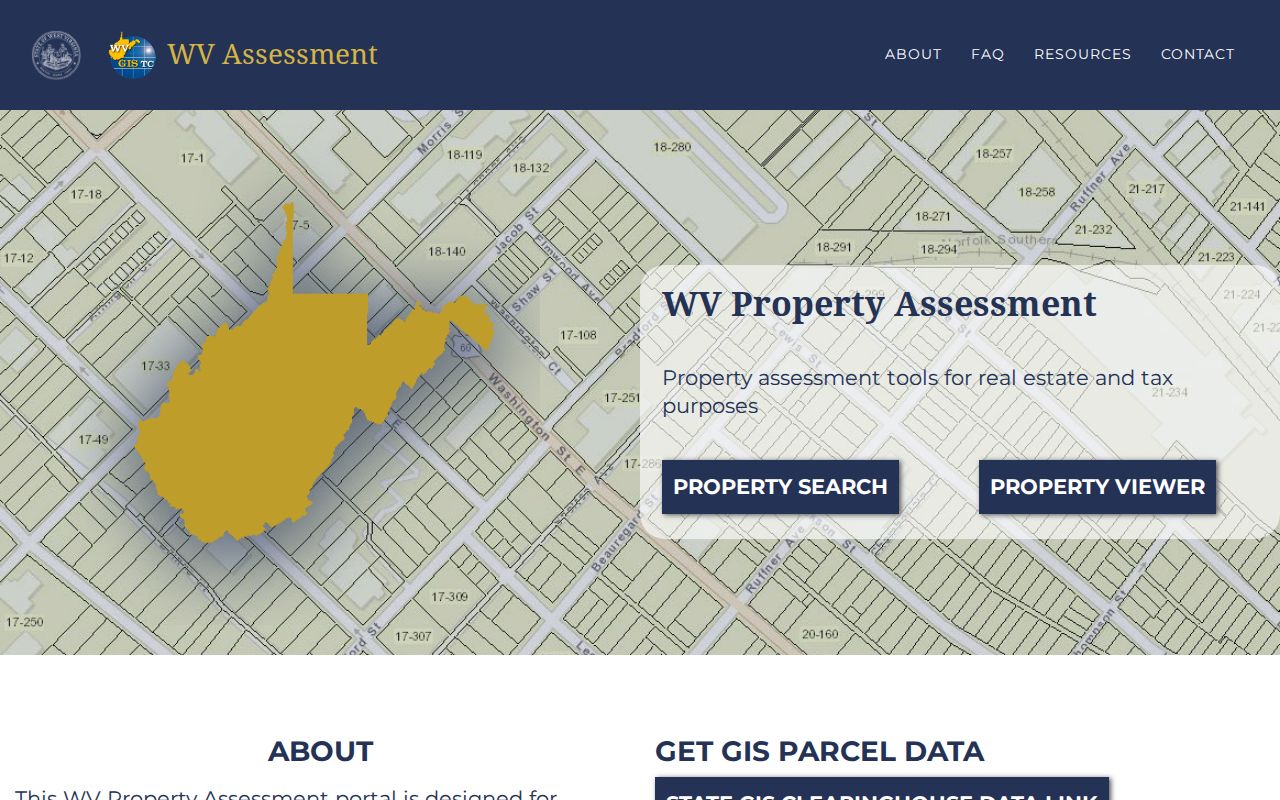
Viewer controls can change over time, and no named buffer or select-by-location tool is advertised. A practical workflow still works fine. Search or identify the subject parcel first. Note the map/parcel key. Then click a nearby polygon one at a time rather than expecting an automated neighbor list. The WV Property Assessment portal shows the assessment search alongside the viewer entry point.
A map layer helps you find the record. The deed and plat define what land the recorded instrument actually describes.
Finding a Ritchie County Parcel by Address
For an everyday street or rural address, the county assessor is the better first stop. Run a Parcel Address search. Save the account, district, map/parcel, legal description, and deed book and page. Ritchie County's Map/Parcel field uses four text controls. The exact parts and zero-padding are not published in the accessible form text. So keep the display exactly as returned. Compressing it into a made-up national APN style can break a later search.
- Enter a known address in the assessor's Parcel Address field, or search an owner as LAST NAME FIRST NAME.
- Confirm the likely result with its legal description and account number.
- Carry the map/parcel parts to the state viewer and use search or identify to locate the polygon.
- Check the county clerk's PLAT or PLAT & SURVEY category for a lot/block or map reference.
- Ask the assessor or clerk when a split, replat, or correction is missing from the online layer.
- Parcel
- A mapped tax unit used by the assessor to identify land for assessment.
- Plat
- A recorded map that lays out lots, blocks, roads, or other land divisions.
- Lot and block
- A description that points to a named or recorded subdivision plat.
- Metes and bounds
- A legal description using directions, distances, monuments, and boundary calls.
- Easement
- A recorded right to use a defined part of land for a stated purpose.
The assessor's Parcel Address is a search key, not a full legal description. Rural property may go by road, stream, acreage, community, or former owner instead. If the address has changed or returns nothing, try a short phrase from the legal text.
Reading a Ritchie County Map/Parcel Key
The map/parcel key links three systems. These are county assessment, the tax map, and the sheriff's tax inquiry. It differs from the assessor's Account Number. Save both. An account can change when parcels are split or corrected. The map key, by contrast, marks a fixed tax-map location. The sheriff inquiry also shows an account and map/parcel beside the tax ticket. The state map site offers printable tax-map URLs. These are built from a county code, district, and map identifier. A sample URL in circulation uses a different county code. So it is not a Ritchie County example. Use the assessor's exact four-part key. Ask the office for the right sheet if you are unsure. Never paste a sample map ID into a Ritchie search. For map data, the WV GIS Technical Center clearinghouse lists tax-map and GIS downloads.
Downloads suit map context and local analysis. Check the release date, and compare any parcel reference with the live assessor before relying on it for a current ownership question.
Annual Updates to Ritchie County Parcel Maps
The statewide viewer updates yearly with new assessment information. The state cautions that a simple ownership change may lag. A new parcel line can wait until the county submits its revisions. For a transfer between July 1 and June 30, guidance applies. The assessor must submit map revisions by February 1 of the following calendar year. If lines still look wrong after two years, contact the local assessor. There is no Ritchie-specific estimate for the time from closing to a new map. A recorded deed may be newer than the state viewer or the assessment roll. When dates differ, compare the latest County Clerk instrument with the assessor account. Ask whether a split, combination, or correction is pending. Keep an export or dated map printout in the property file. A later viewer refresh can shift a displayed parcel edge. An undated screenshot is hard to interpret.
Ritchie County Plats and Survey Books
The County Clerk IDX lists PLAT BOOK and PLAT & SURVEY BOOK categories. Read a lot-and-block description with its named plat, lot number, block, phase. Watch for any replat or vacation. An older street or alley may sit in Road Record, Road Order, Ordinance, Easement, or Right of Way material. It may not appear in a modern address field. For metes and bounds, follow every call, bearing, distance, monument, exception, and adjoining parcel. A plat can clarify a legal description. Still, it is not always the last or controlling survey. Mineral and oil/gas instruments may describe a separate interest. That interest may not match the surface polygon. If no plat appears online, ask the County Clerk. Ask about the physical plat books and the current copy fee. The clerk's online cutoff for historic indexes is not published. Older material may need a counter or mail request.
Historic Ritchie County Town Maps
The Ritchie County Historical Society posts links to 1899 town maps. The maps come from the Library of Congress. They cover Harrisville, Pennsboro, and Cairo. An old deed, plat, or newspaper notice may name streets that no longer exist. These maps help translate that older grid. Harrisville went through several post-office names before settling back in 1985. Solus, Ritchie Court House, and Ritchie Courthouse all referred to the same town.
Pennsboro offers a similar paper trail. Its first plat came from a Baltimore surveyor named Penn. The community incorporated as a town in 1885 and as a city in 1915. That history points to a plat-first search for old Main Street or downtown lots. Historic context is a clue. It is not a substitute for the County Clerk's recorded plat and the current assessor parcel.
Sometimes an old map and a modern parcel simply will not line up. Ask the clerk or the municipality about a street vacation, annexation, ordinance, or corrected plat. The county publishes no official chronology of street renumbering.
Free Ritchie County GIS Data Downloads
Free parcel GIS downloads are available through the WV GIS clearinghouse. It is part of the state distribution program. The files work well for a local map or research project. Keep in mind they are tax-map and assessment products. Download the current release and preserve its date. A polygon is not a title document. Public layer metadata may omit an easement, mineral estate, road right, or newly recorded transfer.
For one property, the assessor record and viewer are usually easier to reconcile than a full GIS file. A larger study calls for more bookkeeping. Keep the data source, release date, district, account, and map/parcel with each feature. Verify a sample of records with the county before trusting a batch.
Limits of Ritchie County Parcel Maps
Parcel lines come with a warning from WV Property Assessment. They are best-fit tax-map visualizations, not legal boundaries and not conclusive evidence in court. The lines draw on deed descriptions and licensed-surveyor work. Even so, a parcel that touches another shape on screen may sit apart from it, divided by a right of way, watercourse, railroad, or mapped gap. Use a property map for orientation. Use a survey, not a screen line, to set a fence or settle a dispute.
Tax map, not survey. Use the clerk's deed and plat for recorded land language. Hire a licensed surveyor when a boundary must be located or challenged.
Work through adjacent parcels one polygon at a time, checking each map/parcel in the assessor record. The Ritchie County neighbor parcel method covers that block-level workflow. A survey, not a screen line, resolves where a boundary lies.