
How to Search Pennsboro Property Records
Ritchie County holds the Pennsboro property records themselves. The city layers on its own code, permits, streets, parks, and council minutes. Start with a known address in the county assessor. Save the account, district, map and parcel numbers, legal description, and deed book and page. Then search deed parties in the County Clerk index, check the sheriff's tax ticket, and pull up the statewide viewer for parcel context. Ask Pennsboro about permits or municipal issues.
- Search the assessor by current Pennsboro street address or owner and keep the legal description.
- Check the Ritchie County Clerk's plat and deed indexes for the lot, block, or prior conveyance.
- Use the county tax inquiry for the parcel's ticket and billing status.
- Orient the parcel with the WV viewer, then compare the town street and plat clues.
- Ask city hall for the building or zoning file because the code reader is not a permit-result search.
The county's property search instructions cover the assessor and deed index fields in detail. This page stays local. It shows how Pennsboro's plats, downtown grid, rail and park landmarks, and municipal permit records shape a property search.
Where Pennsboro Property Records Are Kept
Deeds, assessments, tax rolls, and GIS maps for Pennsboro all come from Ritchie County, same as every other parcel. The city runs no separate recorder or assessor. Its office handles different matters. Ask there about permits, building-code rules, council minutes, streets, and local facilities.
Ritchie County parcel records
County clerk, assessor, and sheriff systems hold deeds, values, taxes, and map keys.
City of Pennsboro permits and code
422 Main Street
Pennsboro, WV 26415
304-659-2377
City hall is a contact route, not a permit archive. Write or call with the property address. Staff can check the paper files, though a building-code chapter states permit rules without telling you whether one specific home was approved.
Pennsboro Town Plats and Recorded Contexts
Pennsboro hands researchers a rare plat clue. Baltimore surveyor Penn drew the town's first plat, according to the official city history. The town incorporated in 1885. A legislative act made it a city in 1915. Match the grid, later extensions, alleys, and street changes against recorded plats instead of guessing from an address.
| Neighborhood or Plat Context | Era | In the Records |
|---|---|---|
| Original Penn town plat | First town plat; town incorporated 1885 | Use County Clerk plat and deed book references |
| Main Street downtown grid | Historic commercial street context | Match lot and block to the plat and modern address |
| Myles Avenue and city park area | Municipal recreation setting | Check street, easement, and public parcel instruments |
| B&O Depot and rail corridor | Historic transportation context | Search rights of way, road records, and adjoining deeds |
| Old Stone House and park/lake area | Historic and public-land landmarks | Distinguish landmark or park parcel from private lots |
These are named contexts, not confirmed subdivisions. The city offers no plat-book range, parcel prefix, or municipal GIS viewer. Exact lot names take a direct request. Ask for the current town plat and compare it against the County Clerk index.
Pennsboro's 1885 and 1915 Boundaries
Pennsboro reached municipal status in two steps. It incorporated as a town in 1885. A 1915 legislative act raised it to a city. That gap explains why town records and county records answer different questions. A recorded plat can predate the modern city charter. A street or lot name can also survive a boundary or road change long after the paperwork moved on.
Old deeds often give a lot and block with no street number. Search the plat name and parties in the County Clerk index instead. The index also holds road records, road orders, ordinances, easements, and right-of-way files. Those files can explain an access dispute or a street change. The current assessor parcel ties everything back to the tax maps.
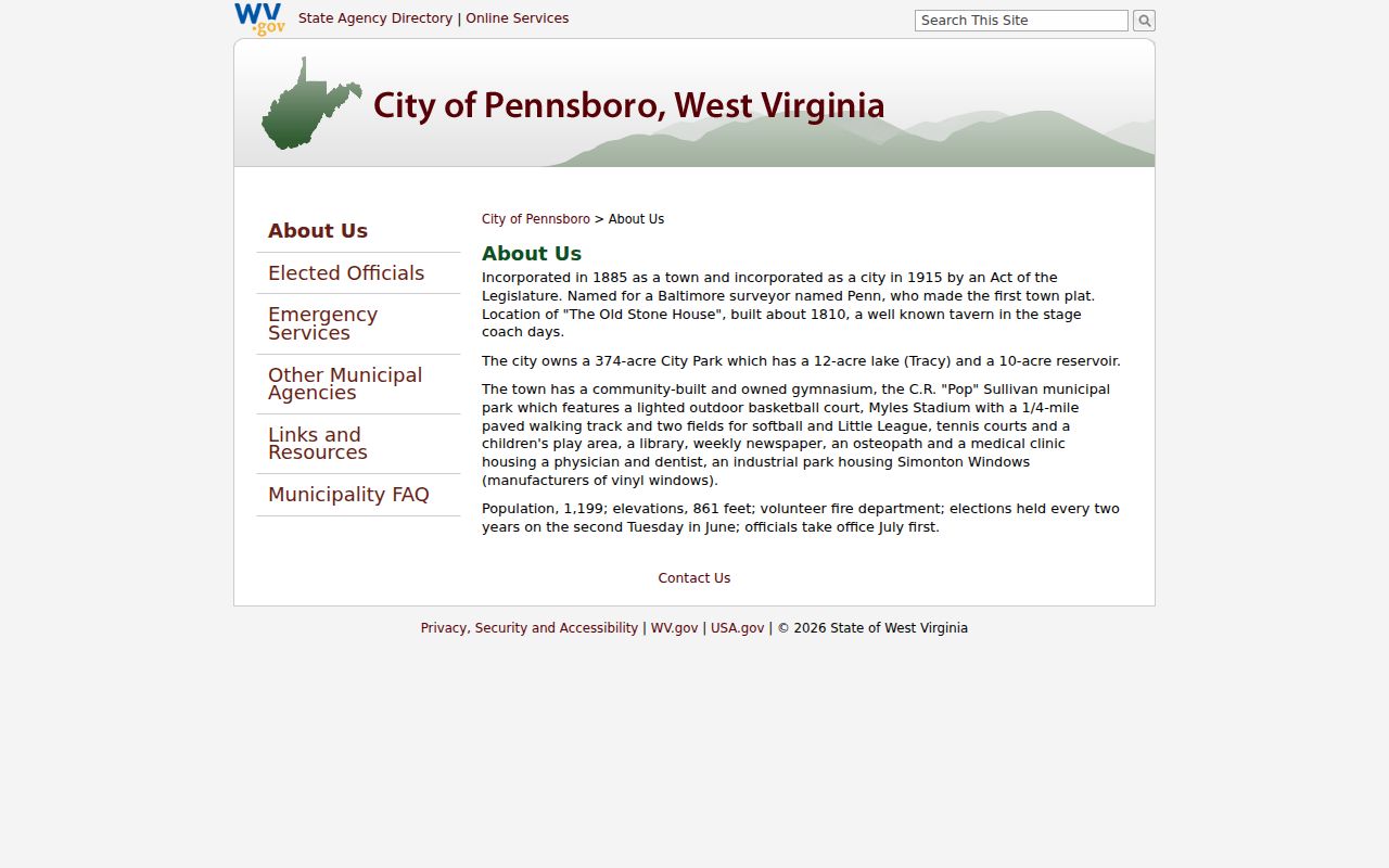
The official Pennsboro history covers the dates and landmarks.
Treat the incorporation dates as a guide to where records live. They are not proof of any parcel boundary.
Pennsboro Building-Code Permit Rules
Pennsboro's municipal-code reader includes a building-code chapter. It covers code adoption, required permits, fees, contractor requirements, and penalties. What it lacks is any parcel lookup. The city publishes no address-keyed permit database, historical permit export, or public status table.
| §5-100 | Adoption of building code |
|---|---|
| §5-101 | Permit required |
| §5-102 | Building permit fees |
| §5-103 | Contractor requirements |
| §5-104 | Penalties |
For a real property file, ask city hall whether its paper ledger holds applicant or owner names, site address, parcel or account, project type, contractor, plans, fees, issue date, inspections, final status, zoning approval, and variances. Request those fields by name. They describe what to ask about, not search controls you can click. An empty code-site search proves nothing.
Pennsboro Park, Depot, and Industrial Parcels
Pennsboro's public land is easy to spot on paper. The city describes a 374-acre park. It holds Tracy Lake, a reservoir, a community gymnasium, and C.R. “Pop” Sullivan Municipal Park. Myles Stadium, tennis courts, and a play area round it out. The B&O Depot and Old Stone House add more named landmarks. Such names show up in old property descriptions and newspaper notices. They sometimes sit beside public or utility land.
The official city page also lists an industrial park. Its tenant is Simonton Windows. Nearby private parcels, park land, rail corridors, and utility easements crowd the map. Some share an address. Compare the legal description, deed, plat, road record, and assessor map and parcel first. Never treat a landmark as a boundary. Landmarks help you locate historic records and understand road access. They never tell you who owns the lot next door.
Reading Pennsboro Streets on Historic Maps
The Ritchie County Historical Society links to an 1899 Library of Congress map of Pennsboro. That one sheet can bridge an old lot or street name to the current town grid. The Society and the local library also hold books, maps, family files, and newspaper material by appointment or through the History Room. Ask for the map title and year first.
A modern address may not appear in an older deed. Old wordings outlast new numbers. Keep the lot and block wording, plat reference, road name, creek, railroad, and adjoining owner as separate clues. Search the county clerk by party and book/page, then match the instrument description to the current assessor record. A town map is not a survey. Use it as a lead only.
Pennsboro ZIP 26415 and Delivery Geography
Pennsboro's postal ZIP is 26415. The USPS address lookup notes that ZIP boundaries do not always follow municipal boundaries. A postal city label says nothing about town jurisdiction. Verify an address for delivery formatting. Then turn to the assessor district and parcel map for land context. The state's local-government directory lists municipal information. Ask Pennsboro about permits and local code if the parcel sits near the city edge.
Street names outlast street numbers. Main Street and Myles Avenue are good anchors. If Parcel Address returns nothing, try an owner name. A shorter road string or the legal description can also work. The assessor's deed book/page field can point you to the county clerk. A modern address may fail to match older lots. That cross-check often closes the gap.
Pennsboro Sales and Property Value Context
The county publishes no Pennsboro-only value trend or revaluation series. The assessor's Sales Search fills part of that gap. It filters by date, price, acreage, square footage, property type, qualification, and sale type. Compare any candidate sale against the deed and plat. Acreage, easements, or non-residential parcels near the park, lake, depot, or industrial area can change what a price means.
West Virginia's 60 percent assessment rule applies countywide. Assessed value, sale price, and the sheriff tax ticket are separate values. Each answers a different question. A recorded price may cover more than the house and lot, so read the legal description and transaction type before calling a sale comparable.
Pennsboro Paper Permit and Council Files
The city publishes no online permit search. Ask how far the paper files reach. Find out whether they are keyed by street address, owner, project, or permit number. A request can name the site and ask for any permit, inspection, zoning, variance, or street record on file. The code browser is not the permit history.
Permits here live on paper. Council minutes and ordinances may record street work, park property, zoning, or city projects. The code reader and city contact are a starting point, but the city should confirm which minutes or paper series can be searched. Note the date and any year range covered.
Limits of Pennsboro Property Records
County assessment and deed records show tax ownership and recorded transfers, while the city code reader explains law rather than whether a permit was issued. A postal ZIP is not a municipal boundary map. A historic town plat is not a current survey. Use each source for the fact it records.
Use records for property research. A deed search is not a title opinion and a tax map is not a survey. Verify parcel boundaries and local permit history with the proper custodian, and do not use owner information to harass or threaten anyone.
Pennsboro property records may pull together county online sources, clerk books, a city request, and local history materials. No single index holds it all. The exact subdivision list, permit ledger fields, and municipal GIS are not published online. Request those items directly instead of inferring their contents.