
Searching Harrisville Property Records
Ritchie County keeps every property record for Harrisville addresses. No town recorder exists. That makes the county assessor's property search the natural first stop, since a street address there opens an account number, district, map and parcel, legal description, and deed book and page. The county clerk confirms what deed was actually recorded. The sheriff's tax inquiry handles the ticket. The state map viewer adds useful geographic context for the parcel. For building work, the city office adds its own permit and zoning records on top of the county property records trail.
- Enter the Harrisville situs address in the County Assessor Parcel Address field and save the account and map/parcel.
- Carry the owner name or deed book/page to the County Clerk index for the recorded transfer.
- Check the sheriff tax ticket by name, account, or map/parcel and note the tax year.
- Open the WV viewer for the tax polygon and compare it with the legal description.
- Ask Harrisville for building, zoning, or street records if the property's work history matters.
The county-wide Ritchie County records page gathers the full set of county search systems. Here the lens turns local.
Where Harrisville Property Records Are Kept
Three county offices hold a Harrisville parcel's paper trail. The County Clerk records deeds and land instruments. The Assessor keeps the tax roll and map keys. Tax tickets, meanwhile, belong to the Sheriff, whose collections office rounds out the trio. All three sit near East Main Street in the county seat, so an in-person cross-check of deed, appraisal, and tax bill is practical even though the systems stay separate.
Ritchie County land and tax records
County-held deed, assessment, tax, and map records cover Harrisville as well as other communities.
Harrisville permits and zoning
P.O. Box 243
Harrisville, WV 26362
304-643-2719
Town hall is not the property-record custodian. The building checklist points applicants to online submission through the city website. The public code browser offers no searchable permit-history table. For a real answer, ask the city office for a property-specific permit file instead of reading a code page as a permit result.
Harrisville Plats and Neighborhood Contexts
No official list of named Harrisville subdivisions, parcel prefixes, or plat-book ranges exists. So the table sticks to documented town and street contexts. Nothing there is an invented subdivision. A plat name or road reference can still crack an older deed search, though the exact book and page should be confirmed with the County Clerk and Assessor.
| Neighborhood or Plat Context | Era | In the Records |
|---|---|---|
| Original Harrisville town plat | Town platted in 1822 | Search the clerk's plat, road, and deed indexes |
| 1899 Harrisville street grid | Map snapshot from 1899 | Compare street names with the modern assessor address |
| East Main and courthouse area | County-seat records center | Use current lot description, deed book/page, and plat |
| North Bend rail and road corridor | Historic transportation context | Check deeds, right of way, road orders, and easements |
These contexts are search aids. They are not a certified subdivision catalog. Use the county's parcel map and plat references to tie a name to a tax map, then verify the recorded plat and legal description.
Harrisville's Names in Older Property Records
Old Harrisville deeds sometimes point somewhere else on paper, and the town's name history explains why. Lawrence Maley settled here in 1801. Platting came in 1822, with a charter as Harrisville. The first post office, opened July 25, 1833, was named Solus, since another Harrisville post office already ran in Virginia. In 1847 the town became Ritchie Court House. It flipped back to Harrisville in 1870, to Ritchie Courthouse in 1874, and settled on Harrisville for good in 1985. Four names cover the paper trail. Try Solus, Ritchie Court House, Ritchie Courthouse, and Harrisville. Keep the land description, road, adjacent owner, and book reference attached to whichever old name appears. A matching variant is a clue, not proof two records describe the same lot. The Historical Society links an 1899 Library of Congress map of the town grid. That view helps most beside the current parcel map. Check any later replat or street record too.
Harrisville Permit Checklist and Code
Harrisville's municipal-code browser holds the zoning and building provisions. A city building-permit checklist directs applications to online submission through the city website. It lists required material by project type. It is not a public database of permit results, and it offers no address, parcel, applicant, date-range, status, or export search.
| Project Type | Checklist Material Noted | What to Confirm With the City |
|---|---|---|
| New or multifamily work | Site plan, drawings, RES Check, soils report, truss design, state NOI, SWPPP | Application number, permit issue, inspections, and final status |
| Accessory building or deck | Site plan and structure drawings | Parcel location, setbacks, and required approvals |
| Basement, addition, or remodel | Floor plans and mechanical/electrical/plumbing plans as applicable | Scope, inspection history, and completion record |
| Roofing, fence, or trade work | Checklist describes an application-only path for listed work | Permit type, fee, and whether a result file exists |
The Harrisville code site capture shows the municipal code and zoning entry point.
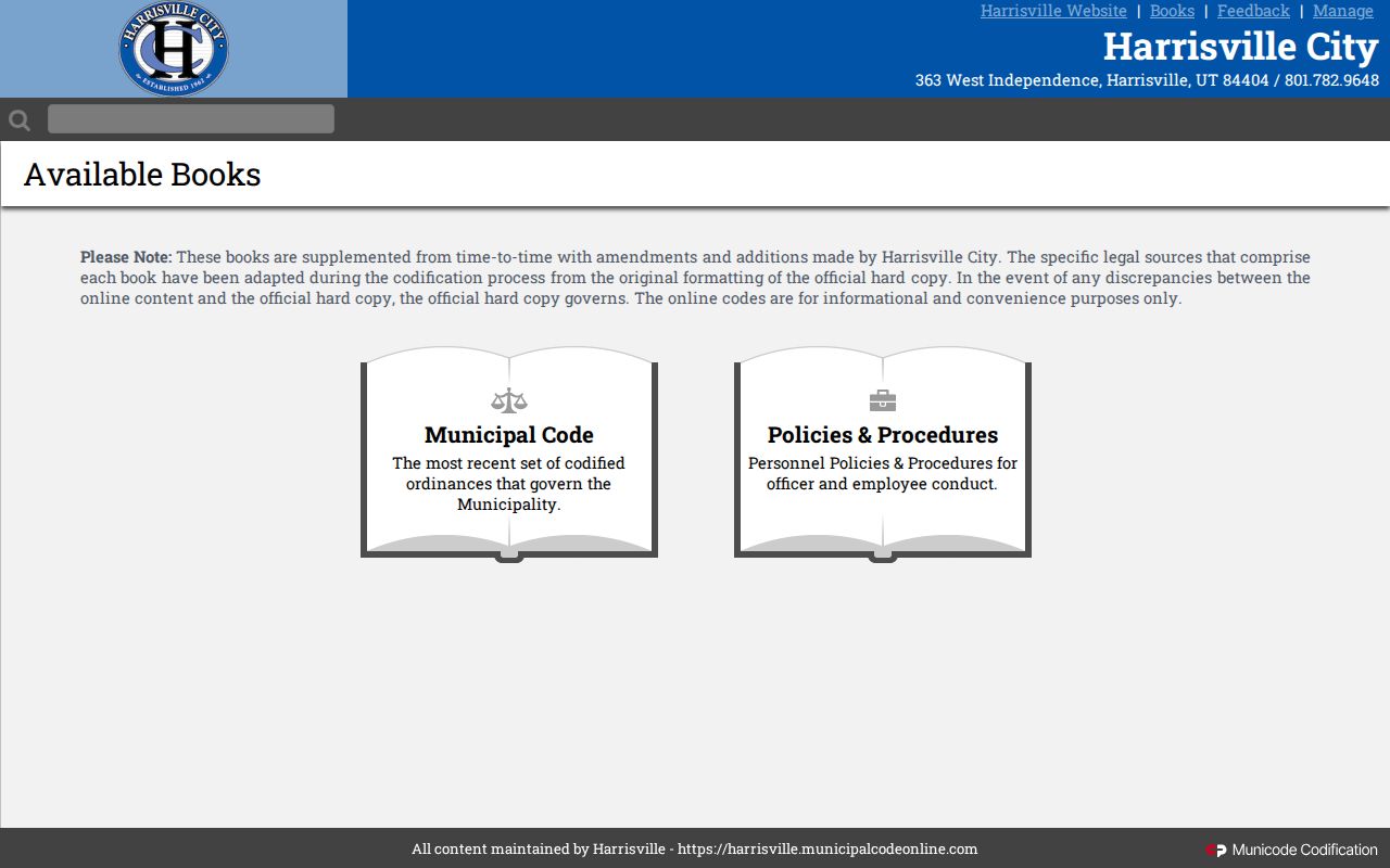
For a house history, request specifics. Ask for the address, parcel or account, application number, project type, applicant, issued date, inspection and final dates, and zoning decision. A checklist proves filing, not approval.
Harrisville ZIP 26362 and Town Lines
Harrisville relies on ZIP 26362 for mail, yet postal geography is not the town boundary. USPS itself cautions that ZIP areas rarely match municipal lines. A parcel can carry a Harrisville mailing address while sitting beyond the incorporated limits. The tax district attached to a boundary parcel may also differ from what its postal label implies.
The USPS address tool settles delivery questions, while the local-government directory from the state offers municipal contact context. The assessor District and state viewer add land context. For permits, zoning, streets, or annexation, ask the city directly. A ZIP result or mailing city never proves who holds title.
Harrisville Values and County Sales Data
Harrisville has no separate revaluation series of its own. The assessor's Sales Search does the heavy lifting instead. It lets you filter Ritchie County sales by date, price, square footage, acreage, property type, and how the sale qualified. Match each result back to its parcel and recorded deed. Avoid ZIP-code comparisons. Postal routes and town limits simply do not line up.
West Virginia assesses real property at 60 percent of true and actual value. That ratio is a statewide rule. The county assessor applies it, but it is not a market appraisal of any Harrisville lot. A recorded price can also hide things. It may reflect a partial interest, a family transfer, mineral rights, or odd consideration. Read the deed itself before treating a sale as a fair comparison.
Harrisville's County-Seat Records Geography
All the key offices sit close together in Harrisville. The assessor works from Room 203. The County Clerk works from Room 201. Both sit at 115 East Main Street. The Sheriff Tax Office is nearby at 109 East North Street, Suite 101. A same-day visit works well when a web index skips an older book. It also helps when a record needs a correction. These offices serve all of Ritchie County, not just the courthouse blocks.
Harrisville town hall handles its own permits, codes, and streets. The city and county run separate systems with no shared parcel search. Carry the assessor account and map and parcel number. Bring the deed book and page, situs address, and legal description too. That way every custodian pulls the same property.
Researching Harrisville's Older Lots
Older lots call for older sources. The Ritchie County Historical Society runs the Old Stone House research collection by appointment. Its holdings include historical maps, family files, and local indexes. The Public Library's WV History Room holds genealogy materials plus newspapers on microfilm. Both can decode a family name or address buried in an old deed. Treat them as leads, though, not proof of ownership.
Ask for each map's exact title and year. Then check its street labels against the County Clerk's plat, road, and deed books. Harrisville publishes no official directory-year run or citywide parcel history. A librarian or clerk can help here. That person can tell you whether a specific town directory or plat index exists.
Limits of Harrisville Property Records
A county owner field reflects the tax roll, not who lives there. A town checklist is not a permit history. A ZIP code is not a boundary map. A tax polygon falls short of a legal survey. Answer each question with the real deed, plat, municipal file, or current assessor record.
Use city and county records for lawful research. A record search is not a title opinion, survey, or appraisal. Use owner and permit information for property diligence and civic work, and do not use it to target or harass anyone.
When the subdivision list, permit field, or exact boundary is missing online, ask the custodian who keeps it. Harrisville publishes no public historical permit table, no city-specific value trend, and no official subdivision-name catalog. The office with the record is the place to start.